Lucky Bay has the whitest sand and is widely seen as the best beach in Australia – so, rhetorical question, why wouldn’t we go? I book the campground a couple of months before we leave New Zealand: previous experience tells us popular places get booked early. I pick a date a week after we fly in, hoping we won’t have to isolate on arrival in Perth. Far from it – after weeks of angst working out which forms we need, Western Australia relaxes all its restrictions a few days before we arrive and they wave us through with a lack of interest only a pensioner couple can arouse.
Sweeping heathlands and dunes lead down to hundreds of metres of squeaky, whiter than white sand, so all the hype is true.

Indeed all the beaches along this stretch of coast SE Western Australia sparkle with pristine sands, and mercifully the only things missing are cafes, shops, houses, and assholes. We are in the Cape Le Grand National Park and the one park campground – about 50 well separated sites is off grid, so no power or water hook up. We make sure the water tanks in the caravan are full before we arrive although there are clean, well maintained long drop toilets and solar showers available. Just watch out for the roaming kangaroos that like to wander along the beach or into your campsite when you are lying back on your reclining beach chair, reading.

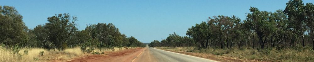
To arrive at this sumptuous destination we drive 720kms south east from Perth, across vast plains smouldering as in some post apocalyptic nightmare. This is the Wheatbelt, though there’s wheat, canola, oats barley and so on. From mid April to June farmers are seeding this year’s crops, and prior to planting, the stubble is burned off to clear manage weeds and the ground. Unless you see it, it is hard to imagine just how massive these cropping areas are. The WA Wheatbelt south of Perth spans 154,862 square kilometres, but the resident population is only about 75,000 spread across a couple of hundred small towns with populations of between 500 and 1,000.
One such small, but perfectly formed town is Beverley. It turns out I not only have a town in my name but it comes with a nifty slogan.

I can imagine the town council meeting now. Mayor: We’ve got a new catchphrase, one that’ll have tourists lining the highway to get here – Be Very You. Councillor: I don’t get it. Mayor, with enthusiasm: Come on Ken, it’s great, it’s inclusive and encouraging , you know, to be yourself. And it’s clever – it nearly spells Beverley but leave out the le and add ou. Councillor: Be yourself? How can you be anyone else? Anyway, we don’t want people being themselves if they’re foreign or woolly woofters. Mayor: Ken! It’s 2022, you can’t say that. Anyway, we’ve paid that fancy Perth advertising mob $100,000 so we’re putting rates up to pay for it. Meeting closed.
Back in Cape Le Grand National Park we amuse ourselves visiting some of the other small beaches in the Park, swimming and body surfing in the clearest water ever, walking trails between beaches and, incomprehensibly, scaling a very large rock.

Frenchman’s Peak, so named by surveyor Alexander Forrest for its resemblance to the hats worn by French troops in the 1800s, rears up to 262 very steep metres. A large cave near the summit is thought to have formed by wave action 40 million years ago when sea levels were at least 300 metres higher than they are now. At times we scramble up 45 degrees slopes. When I pause to rest – for quite some time – a young woman below encourages her 10 year old with “look that lady there is as old as Nana and she’s climbing”. His not unreasonable response is “I don’t care, I don’t want to die”. Fair enough but I’m more concerned with how old Nana is. Seventy-five apparently, though Jane has the good grace to say she knows I’m not that old, she was just trying to get the kid moving. There you go, Motivation 101.


