As much as we are enjoying the reef and our snorkeling trips, there is plenty else to do on the Coral Coast. A couple of days in Exmouth mean we can drive around into the Cape Range National Park and take a river boat trip up the Yardie Creek. This quiet cruise shows us the spectacular colours and beauty of this rugged gorge, and we see a number of the local black-footed rock wallaby. they are quite hard to spot against the cliffs until our guide points them out.

The rugged limestone range that gives Cape Range its name runs down the western border of the Exmouth peninsula. The river gorge only hints at the extensive cave and canyon system that runs through and under the range itself. And, of course, on the Indian Ocean coast are stunning beaches with the northern end of the Ningaloo reef providing more options for water activities.
Exmouth exists because in 1963 the US Navy negotiated the lease of land for a naval communications station to provide very low frequency (VLF) transmission to ships and submarines in the western Pacific and eastern Indian Oceans. The station and town came into being in 1967, with the town providing accommodations for the US families working at the station. Thirteen tall radio towers lend a mysterious air to the tip of the peninsula, six kilometres north west of the town, as we drive to Yardie Creek.
Back in Coral Bay there is the opportunity to satisfy our inner bogan tendencies driving over sandy territory. We take a side by side, rather than a quad bike, as neither of us is a good pillion passenger. I take the wheel for the outward journey and quickly realise the block under the accelerator is designed to tame my inner bogan. Still, its heaps of fun bashing over the sand dunes, drifting around corners and along the slightly more difficult to access beaches. We arrive at a lookout in time to watch the sun sink over the Indian ocean in its usual stunning colours.

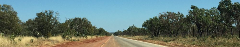
We also take the Landcruiser on a few drives up the coast. This usually involves dropping the tyre pressures to 18-20 psi over the sandy terrain, but I retain terminal horror at the thought of being bogged in the middle of nowhere, dying of thirst and being eaten by termites. The compressor is getting a lot of use reinflating tyres at the end of each foray into the unknown. The reward is in the outstanding coastal views and complete lack of people who could help out in an emergency!

But the best part is back in the water. We love our first Manta swim so much we sign up for another, hoping but not expecting it to be better. And it is. By a factor of, I don’t know, a lot. Our run of luck is still going strong as again we get stunning weather. Not only that, but the water is crystal clear, much clearer than last week, and as the mantas favour sandy areas the viz is great. At times we are only a couple of metres above them. Again, it is mesmerising, and as they are swimming relatively slowly we can easily keep up and follow them for some time.

We find three manta in a mating chain. A mating chain happens when the males encounter a receptive female and they start to follow her. Yes, if this were humans we would be feeling icky. There can be up to 20 or so males following in a well ordered line behind her, and all the time she is assessing their fitness for mating. She may swoop and dive and leap out of the water then race off and quite literally, the last manta swimming gets to mate with her. Mating chains can go on for days as the weaker males drop out. It must be getting down to the wire when we see them as the larger female has only two suitors following. Some manta is going to get lucky soon.
And so ends our wonderful three weeks on the Coral Coast. This is definitely a place to visit, and to linger and enjoy. We snorkel and/or swim off the beach every day, and every day see something different. The weather is sublime, though it is now getting a little hot for us as it is over 30C every day.
We now embark on the final month of this journey which will end in Perth. Further to the last blog, Air NZ has already changed our flights. We still arrive home on the 18th October, but now have a day flight and arrive in the evening, rather than an overnighter.
For those who like flowers and aren’t sick of seeing Mulla Mulla


And for the map lovers, the same map applies


