Eucla is the first town after the border crossing from South Australia. Given you are relieved of any and all fresh produce at the border you would think some enterprising shopkeeper would have a well stocked chiller truck or at least a greengrocer stall. Not so. Aside from no vegetables, Eucla’s claim to fame is the historic 1877 telegraph station which linked West Australia to the rest of the country and improved communications significantly. It is ironic that 144 years on, WA seems determined to keep itself as insular as possible from the rest of the country.

We continue along the highway but take another off-road spin to check out the Madura Cave. As I mention in the last posting, Part One of Crossing the Nullarbor, we are on a massive limestone plate – therefore there are often caves or sinkholes where the softer limestone erodes. The Madura Cave is one such place and it is spooky revelation. It is not a deep cave, more of a shallow overhang. Once we get used to bats flying at us, we find ourselves in a kangaroo boneyard. When they are sick and/or dying they seek out the cooler space and hide from predators, but as there is no actual hospital or aged care facility, they die sad and alone.


As we come over the Madura Pass we get great views of the Roe Plains, again proving the Nullarbor is not all a long flat straight road – that is yet to come. We pause at Madura for the night, and play the 9th hole of the Nullarbor Links, the world’s longest golf course. It is an 18 hole par 72 course which starts in Ceduna and ends in Kalgoorlie 1,365 kms later. At 16 roadhouses along the way (plus 2 holes in Kalgoorlie) there’s a (sort of) green tee and some terrain that gives new meaning to the word fairway. The rough is very rough. It says everything about my interest and expertise in golf that I take 5 shots on the 125metre par 3 hole. I am much, much worse on the 16th hole but make up for it all on the 19th.

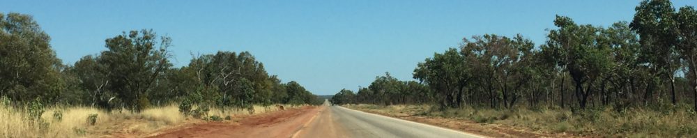
There’s little to say about the road from Caiguna to Belladonia (this is quite the Geography lesson isn’t it) except it is Australia’s longest straight – 146.6 kms. It is very long, and very straight.
Arriving at Balladonia provides more excitement however, as there is a great museum at the Roadhouse. I say that with no trace of sarcasm. It really is very good and has informative displays and artefacts illustrating the history of the area. The highlight is a chunk of Skylab: those whose memories go back as far as 1979 will remember the disintegration of NASA’s space station and the fiery reentry into the Earth’s atmosphere, with bits landing within a 150km radius of Balladonia.
This country is very happy to honour its equine heroes, as we find in Goondiwindi and Port Lincoln. In the tiny town of Norseman, essentially the end of the Eyre highway and the point at which you toss a coin to go north to the goldfields of Kalgoorlie, or south to the coast and Esperance, there’s another horse statue. Not a racehorse, but a simple prospector’s mount, Hardy Norseman. In the 1890s his owner tethered him to a tree overnight and by morning the horse had unearthed a piece of gold bearing quartz – Norseman becomes the second richest gold-field in WA.
But more of gold in the next instalment.


